An island-framed Mediterranean bay
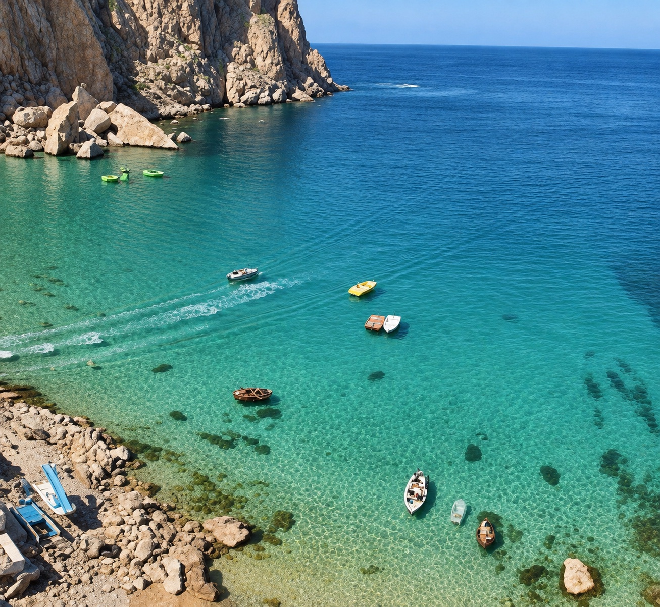
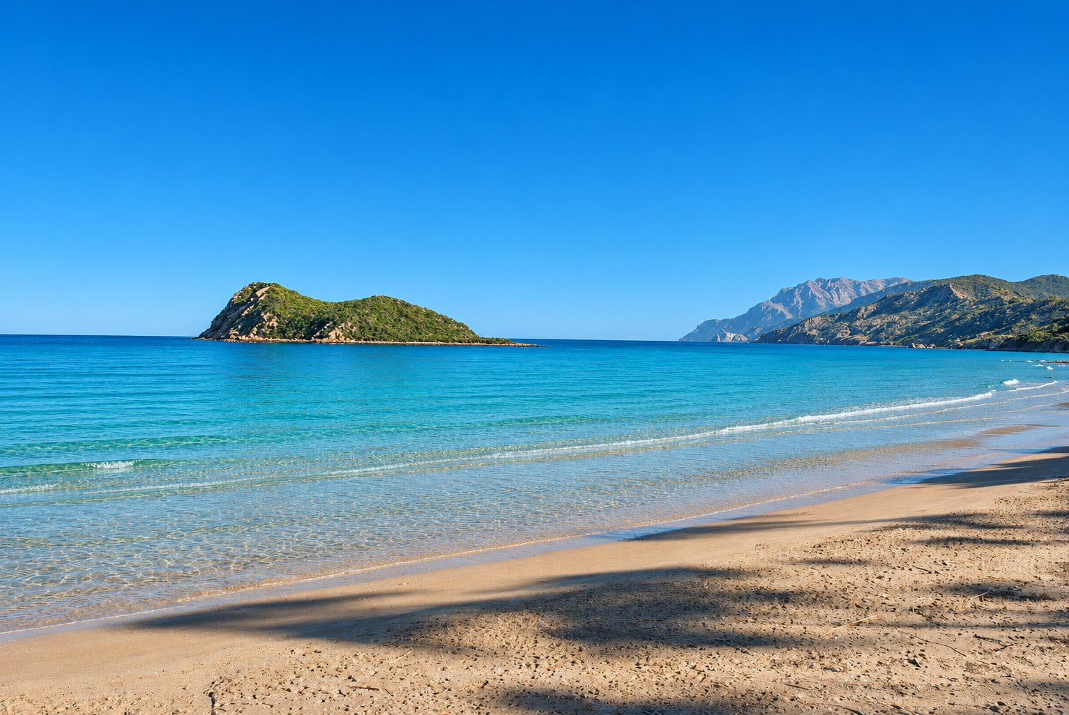
Cala Iris brings together a sandy shore, an offshore island and the mountainous scenery of the Rif. Take time for the view from the beach, where the island gives this stretch of coast its distinctive silhouette.
At the edge of the national park
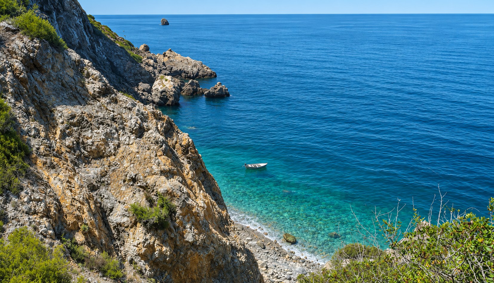
APRAM places Cala Iris at the western limit of Al Hoceima National Park. Its coastal setting includes wooded hills, cliffs and sheltered coves. Pair a beach visit with time to appreciate the landscape from public paths and viewpoints.
A village shaped by the sea
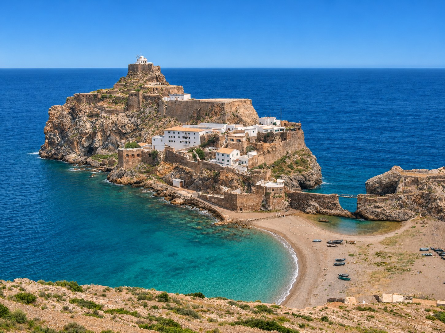
The small fishing harbour is part of Cala Iris’s identity. APRAM dates its construction to 1998 through Moroccan–Japanese cooperation. Enjoy the harbour views from permitted public areas and give working crews and boats space.
Plan your visit from Al Hoceima
APRAM locates the port around 57 km west of Al Hoceima and 3 km west of Torres d’Al Kalaa. These are location references, not guaranteed driving distances. Check your road route and return transport, and bring water and sun protection. Confirm seasonal services and sea conditions locally.
Explore, read & listen
Sources & further reading
Original editorial text. Review date: 21 November 2026. A review date is not a claim that the source’s underlying data are new.
Destination reference: Moroccan National Tourist Office. Check practical details for your dates.