Explore the national park area
Pan and zoom across the coast from Al Hoceima towards Badès, Torres d’Al Kalaa and Cala Iris. Place markers are approximate; the map provides regional orientation, not official park boundaries.
Open a larger area mapLand and sea in one protected landscape
Al Hoceima National Park protects both the Bokkoya massif and the Mediterranean waters beside it. The UNEP/MAP-SPA/RAC register records 48,460 hectares in total, including 19,600 marine hectares, along about 50 kilometres of coast. Created in 2004, the park joined the Mediterranean SPAMI network of specially protected areas in 2009.
The Bokkoya massif and its cliffs
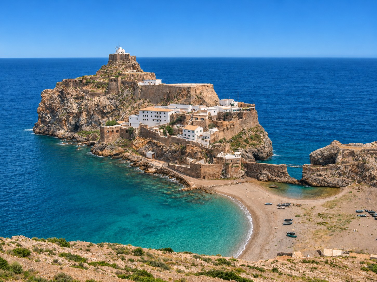
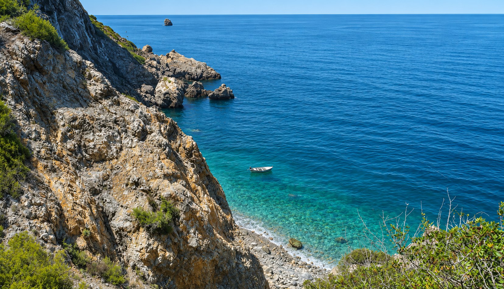
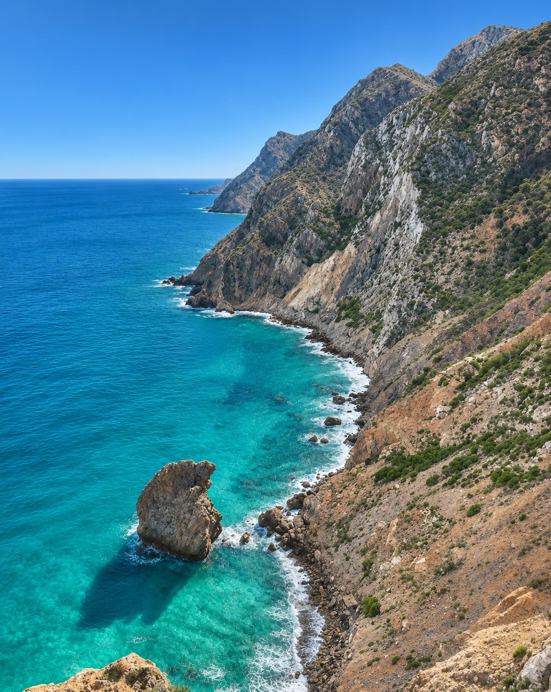
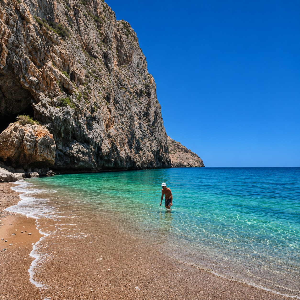
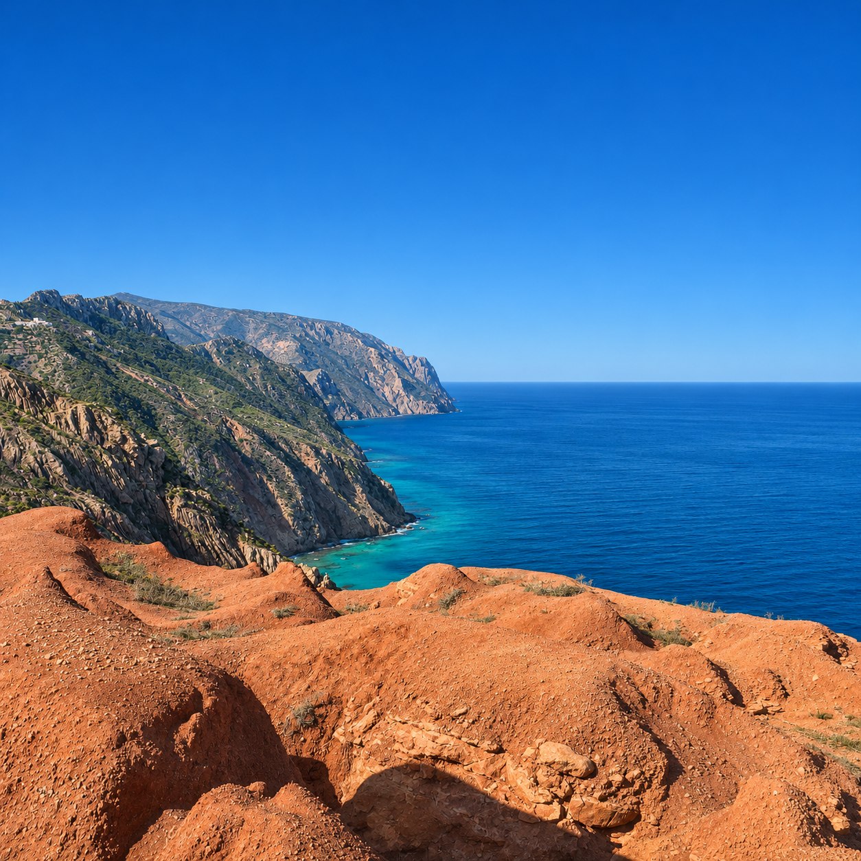
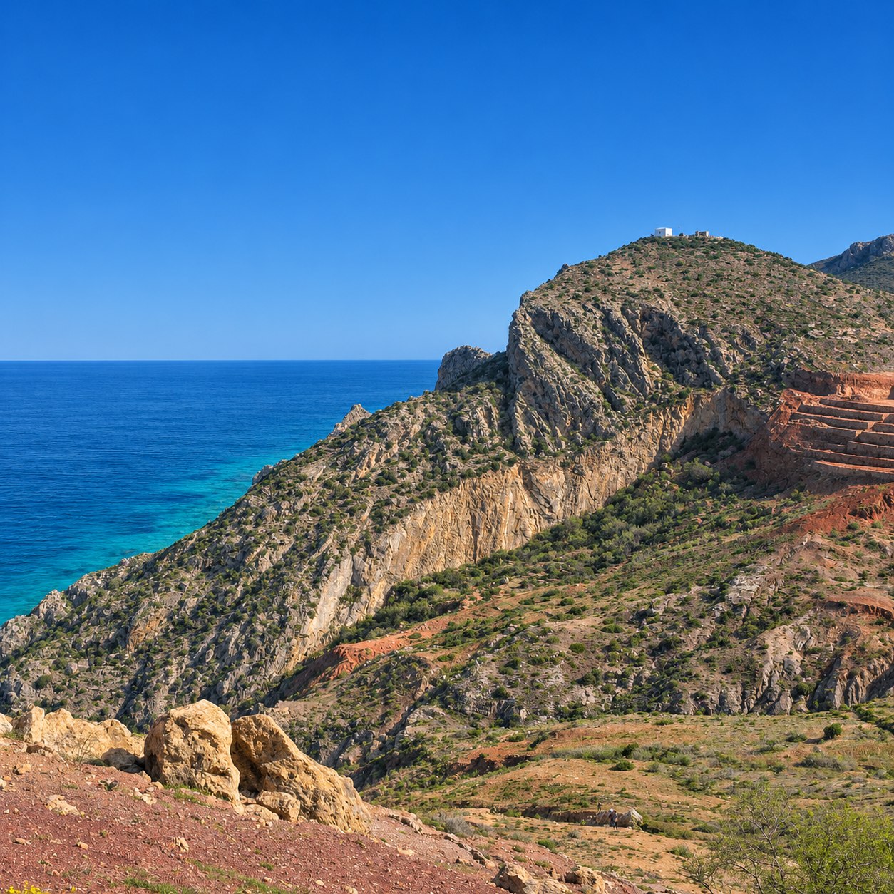
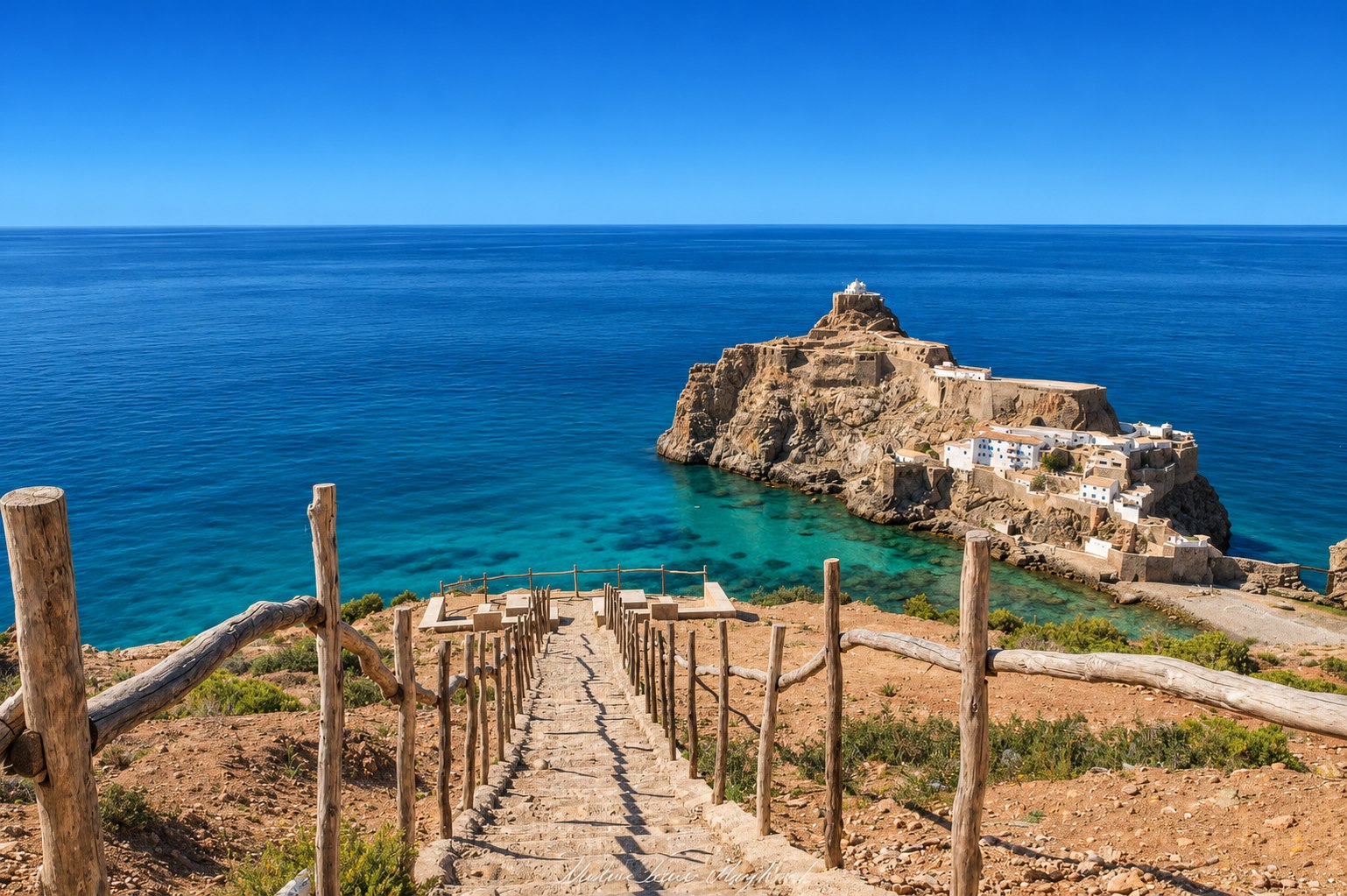
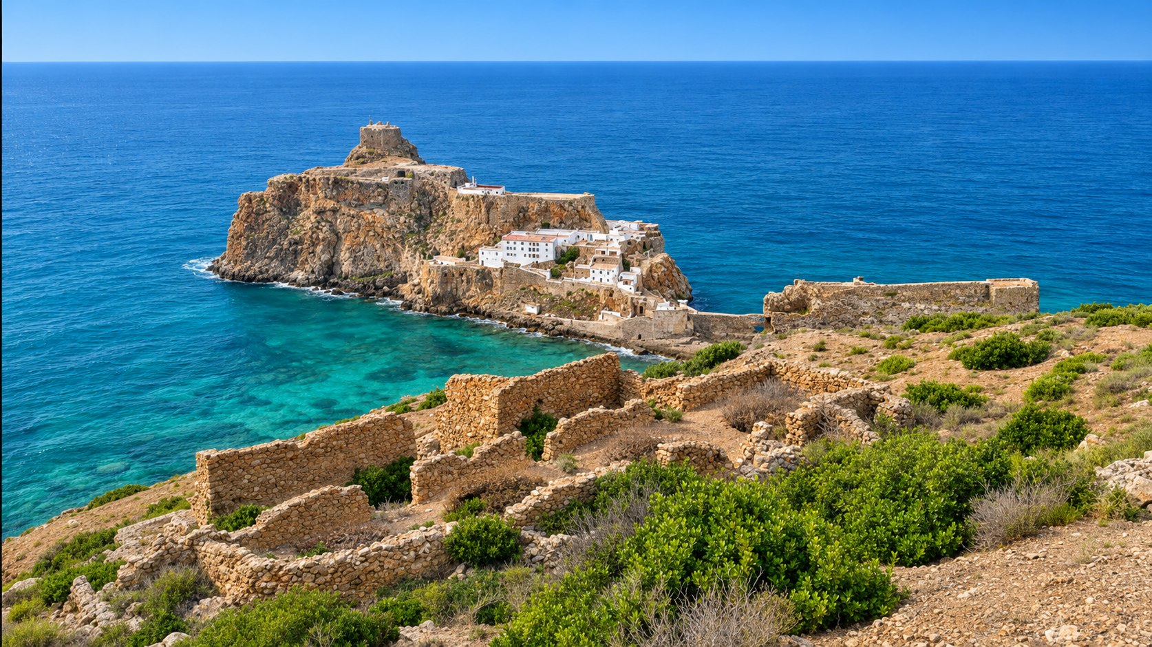
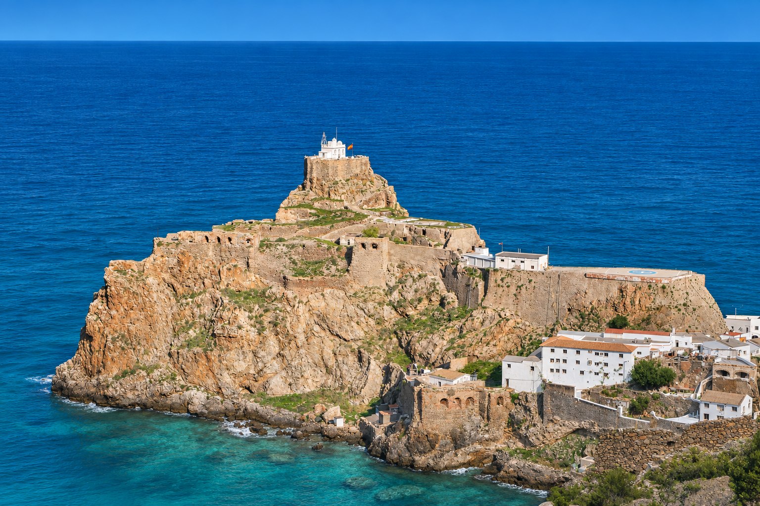
The mountains are an essential part of the experience. Limestone headlands drop towards the sea, with cliffs rising more than 300 metres in places. Islets, rocky outcrops and sea caves shape the coastline, while the interior opens into hills and valleys. Viewpoints reveal how closely the mountains and marine landscape fit together.
Places to explore along the coast
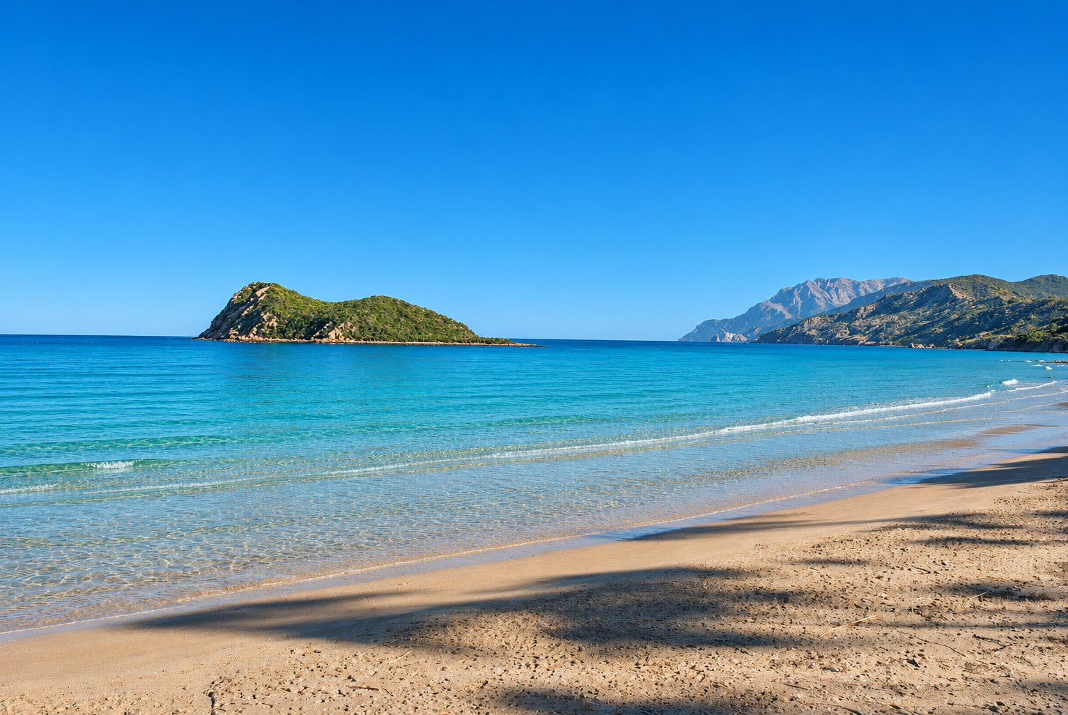
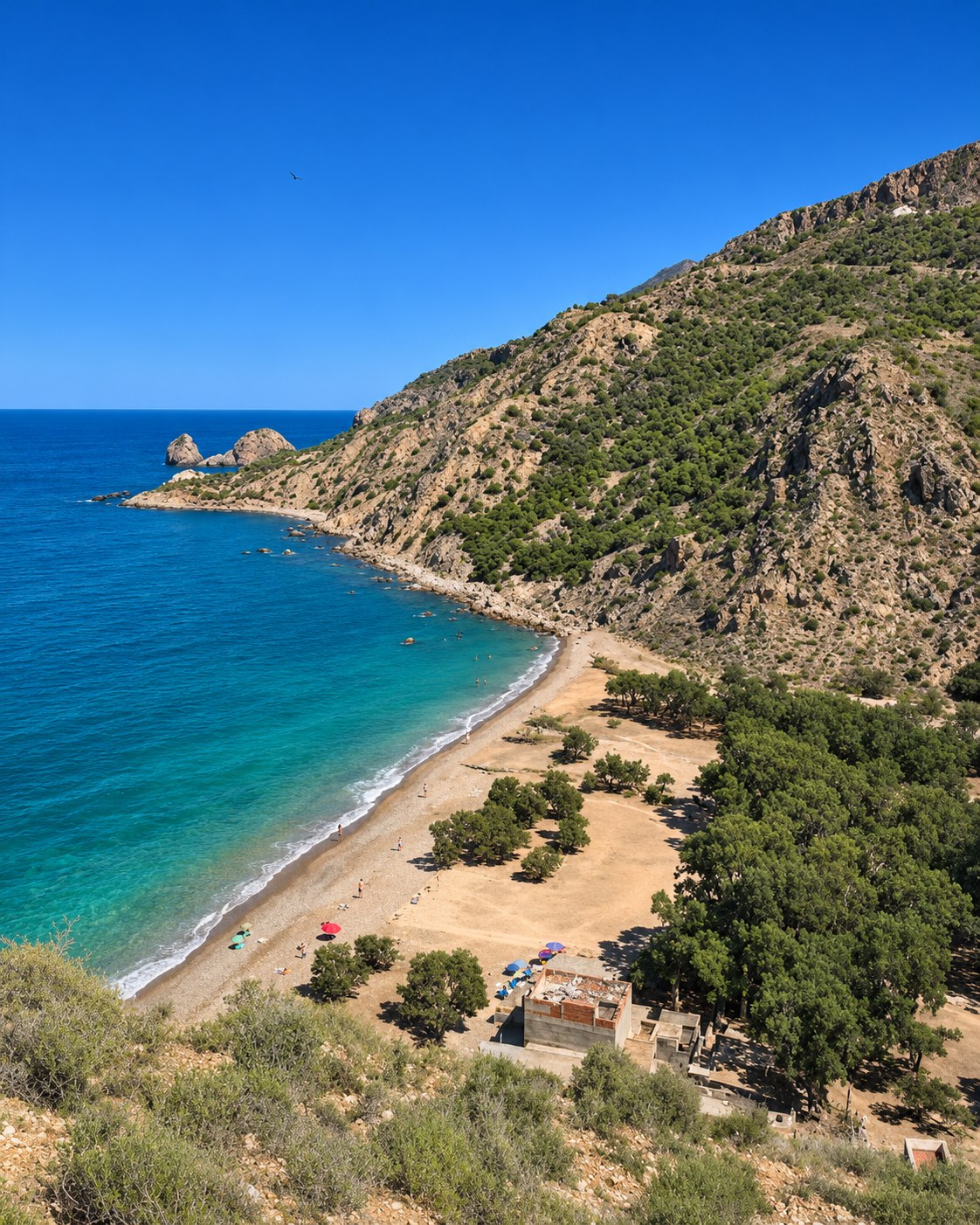
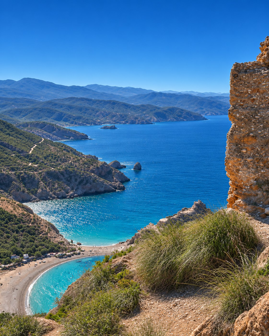
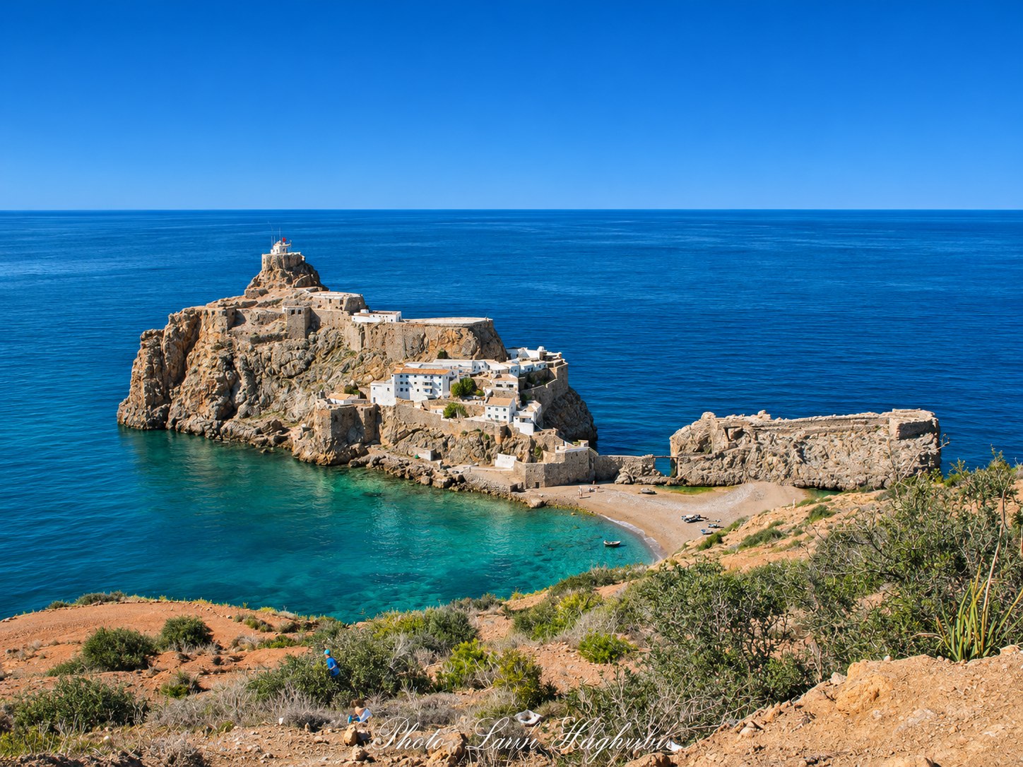
Cala Iris marks the western edge of the park landscape, combining a sandy bay, an offshore island and a small fishing harbour. Around Badès, the rocky landmark and the surrounding shoreline offer another memorable coastal view. Torres d’Al Kalaa is a nearby reference for planning this western coastal outing. Use the individual beach guides to build your day.
Walking and viewpoints
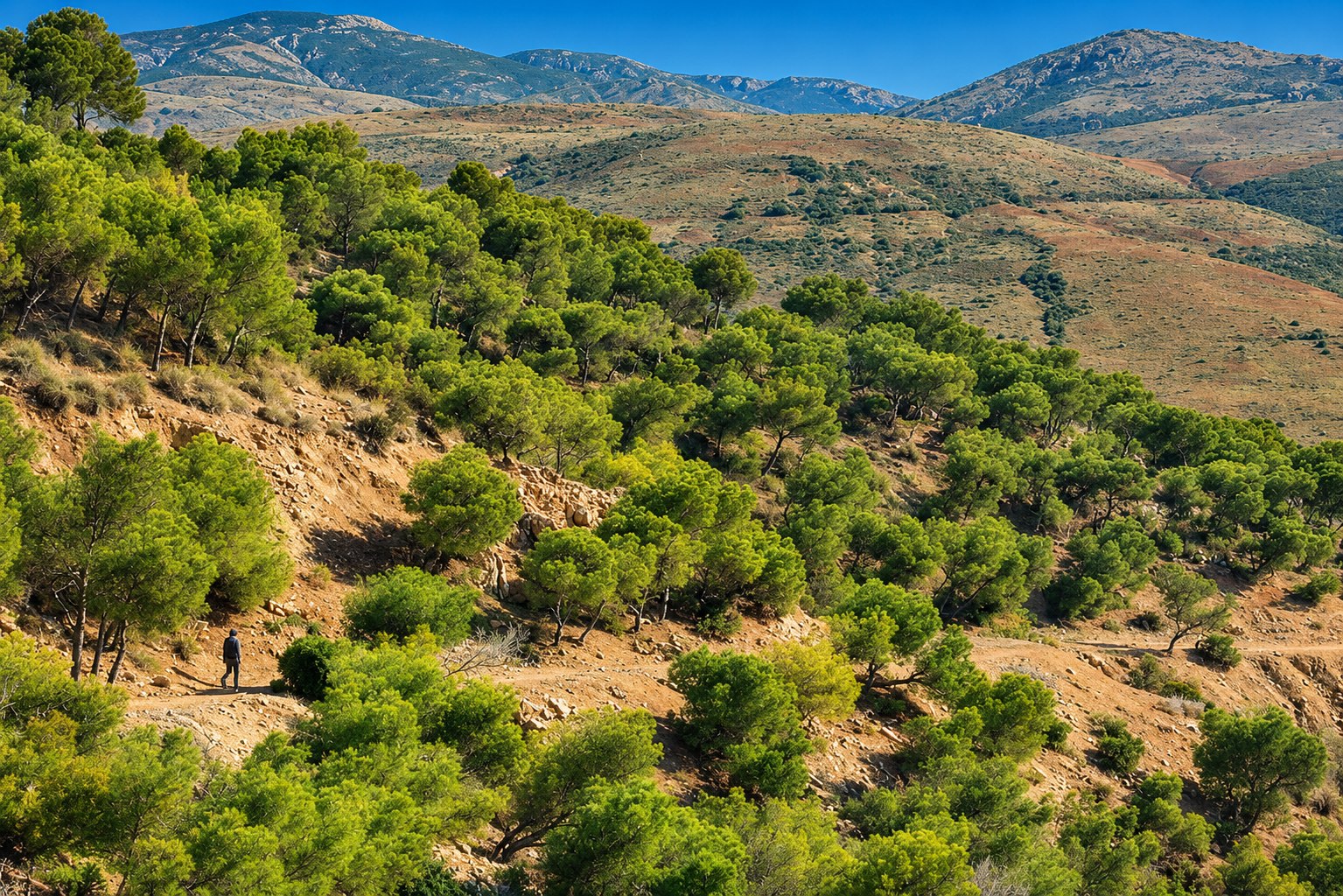
The Moroccan tourist office highlights walking in the park’s varied terrain and discovering its rural interior. Choose a route that suits your group and allow time for the return. A knowledgeable local guide can help you understand the landscape and identify suitable paths. Bring water, sturdy footwear and sun protection, and stay on permitted routes away from exposed cliff edges.
Discover the coast from the water
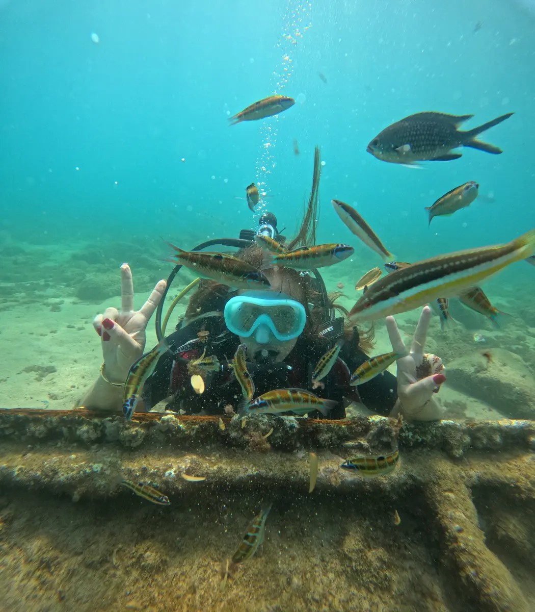
A boat outing offers a different perspective on the cliffs, while a guided dive introduces the underwater landscape. Ask the operator about the exact route, sea conditions, supervision and the places where activities are permitted. Our diving guide brings together published local contacts. Keep wildlife observation quiet and distant, and leave rocks, shells and marine life where they are.
A landscape that changes with the seasons
Spring brings greener hillsides; in summer, the vegetation becomes sparser and the landscape takes on warmer tones. The sea, cliffs and light give each season its own character. Plan around the activity you want: walking, photography, a beach stop or time on the water. Check the weather and sea conditions close to your visit.
Marine habitats and local communities
The protected waters contain important Mediterranean habitats, including coral formations and coastal algae communities. UNESCO describes conservation work led by AGIR with fishing communities, including planning and co-management of no-take zones. This is a living coastal landscape: choosing local guides and services can connect a visit with the people who know and care for it.
Make a day of it
Start with one part of the coast rather than trying to cover the whole park. Combine a viewpoint, a beach and time in a nearby village, leaving space for a relaxed meal and the return journey. Carry your rubbish out, avoid disturbing nesting birds and ask locally about current access and seasonal services.
Fifteen views of the national park and its coast
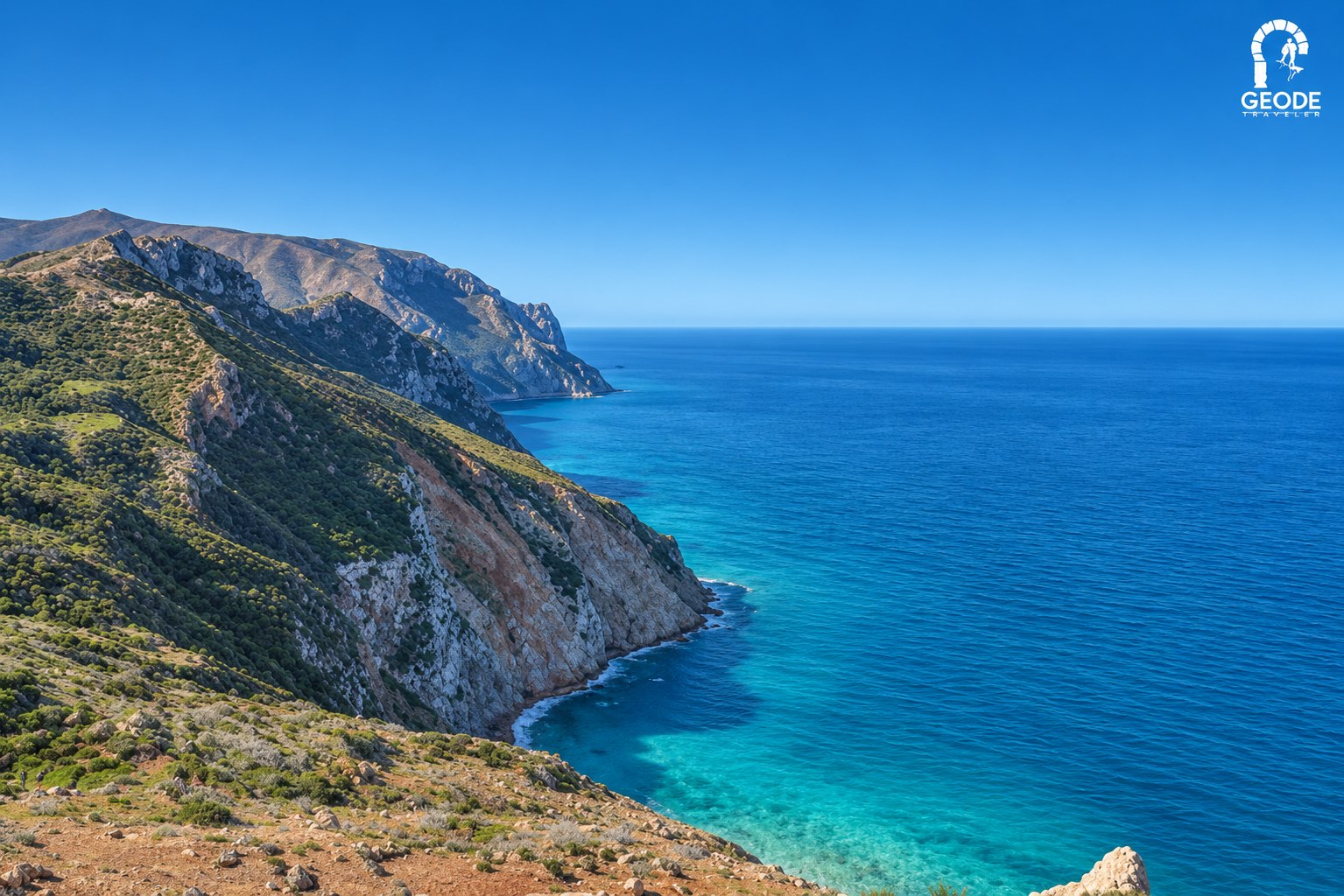
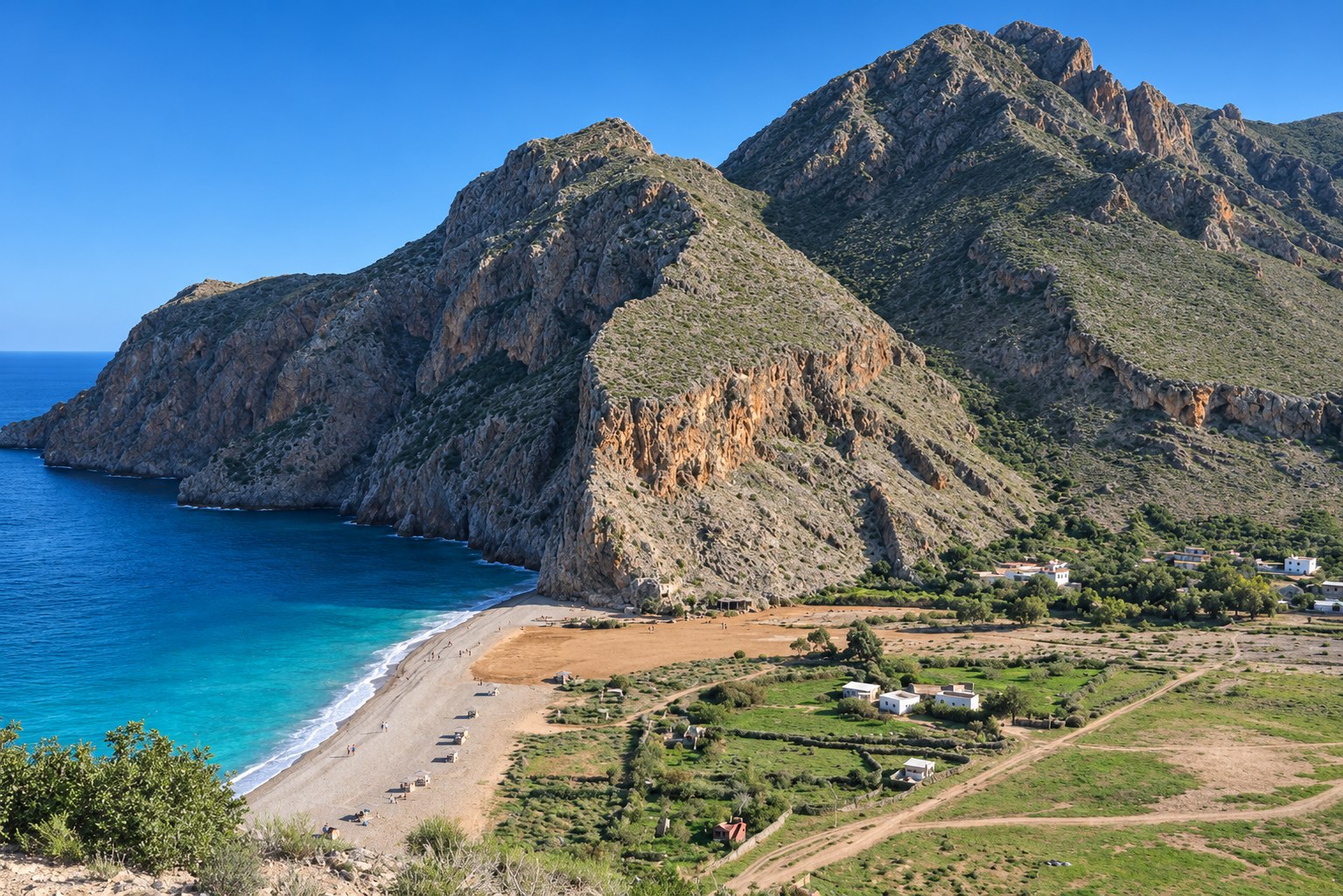
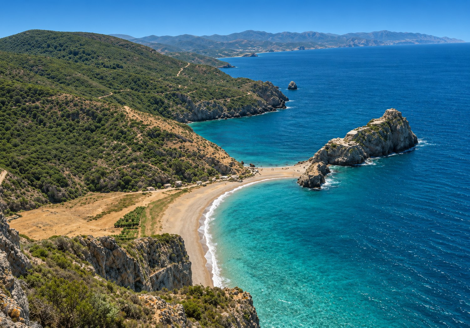
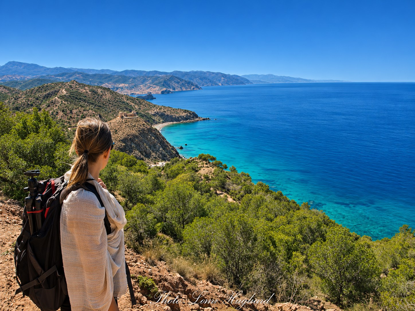
Meet the park’s osprey
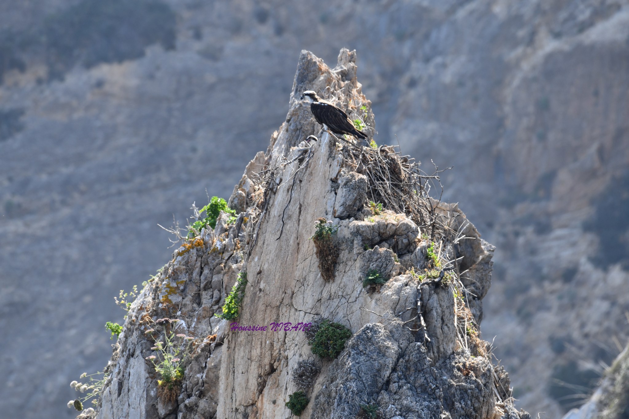
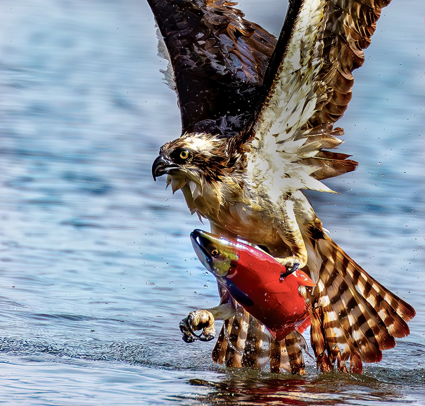
AGIR’s 2023 account describes the osprey (Pandion haliaetus) as emblematic of the park’s Bokkoya cliffs. Look for its pale head, dark eye stripe and long wings.
A specialist at catching fish
An osprey searches above the water, then plunges feet-first to grip a fish with its talons. It often carries the catch head-first in flight. Watch from public paths with binoculars, staying well away from nests.
Ospreys of the coastal cliffs
Cliff-nesting habitat in Al Hoceima, followed by a species photograph illustrating fishing behaviour.
Explore, read & listen
Traveller photographs of the national park
Browse more visitor photographs and recent experiences in the original national park gallery.
View the photo galleryThe western coastCala Iris Beach
An island-framed bay and a small fishing harbour.
Read the guideOn the waterDiving in Al Hoceima
Explore local diving experiences and published activity contacts.
Read the guideSources & further reading
- UNEP/MAP-SPA/RAC · park area, habitats and protected status
- Moroccan National Tourist Office · nature and walking
- UNESCO · marine conservation with local communities
- APRAM · Cala Iris and the western coastal setting
- AGIR: the osprey in Al Hoceima National Park (2023)
- RSPB: osprey identification and fishing behaviour
- Forestry and Land Scotland: osprey wildlife guide
Original editorial text. Review date: 21 November 2026. A review date is not a claim that the source’s underlying data are new.
Destination reference: Moroccan National Tourist Office. Check practical details for your dates.